The news in Polish
Polscy naukowcy1 z agencji kosmicznej POLSA i Uniwersytetu Jagiellońskiego badają starożytne2 miasto w Egipcie. Miasto leżało przy ważnym szlaku3 handlowym. Naukowcy używają zdjęć satelitarnych4, żeby lepiej zrozumieć, jak wyglądało życie w tym miejscu dawno temu. Technologie satelitarne są tanie i nie niszczą5 terenu6.
- naukowiec (m.)
osoba zajmująca się nauką i prowadząca badania naukowe ↩︎ - starożytny
odnoszący się do bardzo dawnych czasów, sprzed wielu tysięcy lat ↩︎ - szlak (m.)
droga lub trasa, którą podróżują ludzie lub towary ↩︎ - satelitarny
związany ze sztucznym satelitą krążącym wokół Ziemi ↩︎ - niszczyć
powodować uszkodzenie lub zniszczenie czegoś, sprawiać że coś przestaje istnieć ↩︎ - teren (m.)
obszar ziemi o określonych cechach lub przeznaczeniu ↩︎
Translation
Text comprehension
Question 1: Which two Polish institutions are involved in researching the ancient Egyptian city?
Question 2: Why are satellite technologies considered useful for this kind of research?
Vocabulary
| Polish | English |
|---|---|
| naukowiec (m.) | |
| starożytny | |
| szlak (m.) | |
| satelitarny | |
| niszczyć | |
| teren (m.) | |
Interested in learning Polish?
Have a question before you start? Send us a message and we’ll help you figure out the next step – whether you’re just exploring your options or already thinking about lessons.
Contact us about learning
Read the full story
Experts from the Polish Space Agency (POLSA) and the Jagiellonian University’s Institute of Comparative Civilisation Studies are using satellite imagery to investigate the remains of an ancient Greco-Roman city at the El Darazya archaeological site in the Marina El-Alamein region of Egypt, approximately 300 kilometres from Cairo.
The site preserves fragments of residential buildings, elements of old infrastructure, and underground cisterns once used to store water. Researchers are seeking to understand what daily life looked like in the region in antiquity and to establish how large the city once was.
Dr Radosław Gurdak of the Polish Space Agency described the site’s historical significance to PAP: “A trade route passed through here. Caravans crossing the desert probably treated this place rather like a modern service station. Travellers stopped here, restocked their water and food, and moved on, so the city developed quite vigorously.”
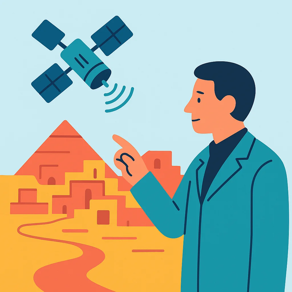
Archaeologists are recording surviving remains and identifying areas of interest, while POLSA experts take measurements to match what they find on the ground with what can be seen from satellite images already selected for analysis. Dr Gurdak explained that the satellite data would help reduce both the cost and the time of fieldwork, allowing researchers to identify the most promising structures across the two-to-three-hectare site more quickly. He added that the technologies are non-invasive, limiting the need for heavy machinery at a culturally sensitive location.
The Marina El-Alamein area, which was the scene of a famous battle in 1942 during the Second World War, is both a popular tourist destination and a military zone where the use of drones is prohibited. Satellite technology therefore offers a practical alternative. Dr Gurdak noted that combining remote sensing data, photogrammetry, and field measurements would allow the team to produce 3D models of the ancient buildings, and that he hoped the resulting knowledge would help engage tourists visiting the area.
The researchers also believe that combining excavation with satellite analysis could support better planning of future work and help protect the cultural heritage of the site from threats posed by environmental change and human activity.
Advanced: Reports from Poland
- Polish Scientists Study Remains of Marina El-Alamein on Egypt’s Coast (Interia Historia)
- Hidden for Years in Egyptian Sand: Czechs Uncover Forgotten Tombs (Focus.pl Nauka)
Polish Learner News
Discover news from Poland to stay informed and practise your skills.
-

Learner News | 10.11.2026
Anna Jagiellonka Exhibition at Wawel Castle Challenges Historical Myths
-

Learner News | 03.11.2026
Aurora Borealis Forecast Over Poland: When to Look Up
-

Learner News | 03.11.2026
Chernobyl Dogs Show Unique Genetic Traits 40 Years After Disaster